Blog
A blog about photography and travel.

Hiking in Strandir
2 days in one of my favorite places in Iceland
Last weekend I went for a short trip to Strandir, a remote area in the north-east facing part of the Westfjords. The primary mission was to hike around Hvalsá in Ófeigsfjörður. This uninhabited area was more or less off the radar until plans were made to build a hydropower plant using the waters of the rivers Rjúkandi, Hvalsá and Eyvindafjarðará, causing much controversy.
Strandir is one of my favorite places in Iceland being isolated but still accessible and with quite dramatic scenery. There’s only a handful of farms, a little business around tourism and a short fishing season in the summer. Hiking in the mountains is popular and so is the swimming pool at Krossnes.
The long (18 km) hike around Hvalsá was interesting but not more than that. On our way back to Reykjavík we walked up Reykjaneshyrna from where the views are spectacular, highly recommended.
As this was primarily a hiking trip there was not a lot of proper photography, but I did manage some nice snaps. Definitely need to go again with more time on my hands.

The mountain Kaldbakur.

The lighthouse at Gjögur. Although functional, the foundations were in such a bad state that it’s amazing it still stands.

View to Drangaskörð over Ófeigsfjörður.

This little guy wanted to join us on our hike but we managed to tell him to go home. He was not happy with that.

The waterfall Drynjandi in river Hvalsá. This is quite a spectacular waterfall, would love to see it early summer when there is more water.

On our way back from Drynjandi the fog rolled in. This is the last bit of the track to Hvalsá, where it ends. After that there are no more roads.

In Ófeigsfjörður.

The old herring plant in Ingólfsfjörður, which has not been operated since 1952 The road runs through the plant.

My favorite image from the trip. The makeshift jetty uses an old tank from the herring plant. The Arctic tern overhead is on its way to attack me.

The mountain Reykjaneshyrna. The hike up only takes half an hour, from where you are rewarded with magnificent 360° views as shown in the gallery below.


Trip to Akureyri
Summer vacation in the north
In the middle of July I travelled to Akureyri where I rented a holiday cottage. This has been a yearly trip for some time now where various family members come and go and we spend a week relaxing and exploring the area.
Akureyri is the biggest town in Iceland outside the capital area. It’s situated at the bottom of Eyjafjörður which also hosts a number of other villages that, together with Akureyri, create a vibrant cultural and economic community in the northern part of Iceland. It’s a perfect location for day trips to many of Iceland’s finest tourist attractions such as Mývatn, Námaskarð, Dettifoss, Ásbyrgi, Goðafoss, Húsavík and Siglufjörður. And for the more adventurous travelers there are mountains and remote areas to explore on foot or by car.
My first excursion was to Hvalvatnsfjörður. This is a now uninhabited valley which can be reached by track F839, for which you need a proper 4x4 that can cross rivers and handle the really bad track.
It was a nice day for photography with good light and clouds, but very windy. For next time I think a hike west to Þorgeirsfjörður would be interesting. It’ about 4km each way and there’s a bridge over the river, so it’s quite easy.


Next I took a short trip to the bottom of the valley south of Akureyri (Eyjafjarðardalur), which is an area I’ve never been to before. There’s a lot of farms but when you get off the beaten track there are deep valleys with high mountains and glimpses of glaciers and areas to explore on foot. In particular I think Djúpidalur looked like an interesting place to have a closer look at.
It was an overcast day but with nice clouds and the sun broke through once in a while.


On Sunday I took my parents to Flateyjardalur, which is the next valley east of Hvalvatnsfjörður, also uninhabited now. You get there by track F899 for which you need a 4x4 vehicle, particularly for the many river crossings. I managed to cut a tire when crossing a difficult river so me and my father had an interesting time figuring out how to get the spare tire from underneath a Toyota Land Cruiser. Nice job on the user manual Toyota, we managed it!
The track takes you to the sea and then you can drive across the shore line and up on Víkurhöfði, from where there are spectacular views of the area. To the north there is the island of Flatey, the last inhabited place in the area, after which the valley is named.
It was a sunny, mostly cloudless day so conditions for photography were not great. On the plus side I a saw a rock slide for the first time in my life and managed to take a photo of it.


Akureyri itself is worth exploring for a day. My favorites are the old town, the botanical gardens, the town center and the industrial area in Oddeyri. The botanical gardens are the finest in Iceland and, if you like using your macro lens to photograph flowers (as I do), you can easily spend a few hours there. And when you need sustenance there’s a nice bistro as well.


The Final trip was to Hrísey, a small island in the middle of Eyjafjörður. It was the warmest day I can remember in Iceland (27C°!) and clear blue skies, so not so nice for photography. I walked from the harbor all the way to the northern tip of the island from where there are views to the open sea.
If you want to enjoy nature in solitude Hrísey is highly recommended. You can walk to the northern tip as I did, but there is also a spot much closer to the harbor (65°59'36.0"N 18°21'20.0"W) where you can enjoy the view to Látraströnd and feel completely alone in the world. Truly a magical place.
Note: If you do go to the northern tip you need to call the landowners and ask for permission. There’s a telephone number on a sign by the road. The lady that answered was very friendly and just wants to get notified that there are people on the land.


Snæfellsnes
Me and my brother go to Snæfellsnes on a whim.
My brother (and fellow photographer) Stefán called me on a Friday and suggested a trip to Snæfellsnes that same evening. Apparently his wife was having a small dinner party for her female friends and his presence in the house was “not required”. We drove to the village of Stykkishólmur and checked into the Foss Hotel where we had an excellent Christmas dinner. Hot tip: the restaurant at Foss Hotel is worth taking a trip for - highly recommended. Also, we packed some craft beers from Borg and a bottle of Nikka whisky so we were already winning before we started.
On Saturday morning we made our way along the north coast of the peninsula to Öndverðarnes before driving back to Reykjavík. At this latitude the sun is only up for 4-5 hours in mid December, rising to 3° above to horizon, so the time you have for daylight photography is limited.
The landscape bore the marks of recent snows and frosts except for the tip of the peninsula which, sticking out into the warmer sea, never really gets cold. Pretty flat light but, as often in Iceland, the clouds saved the day.

The mountain Gjafi is located at the bottom of Hraunsfjörður which is a fjord that Berserkjahraun lava field has almost closed off from the sea. On a calm day the mountains reflect beautifully in the water.
GFX50R + GF32-64 @ 64°56'41.8"N 23°00'54.5"W

Krákuhyrna (Crow’s horn) is just west of Gjafi. Still half an hour to sunrise but there was a little bit of color in the sky.
GFX50R + GF32-64 @ 64°56'41.8"N 23°00'54.5"W
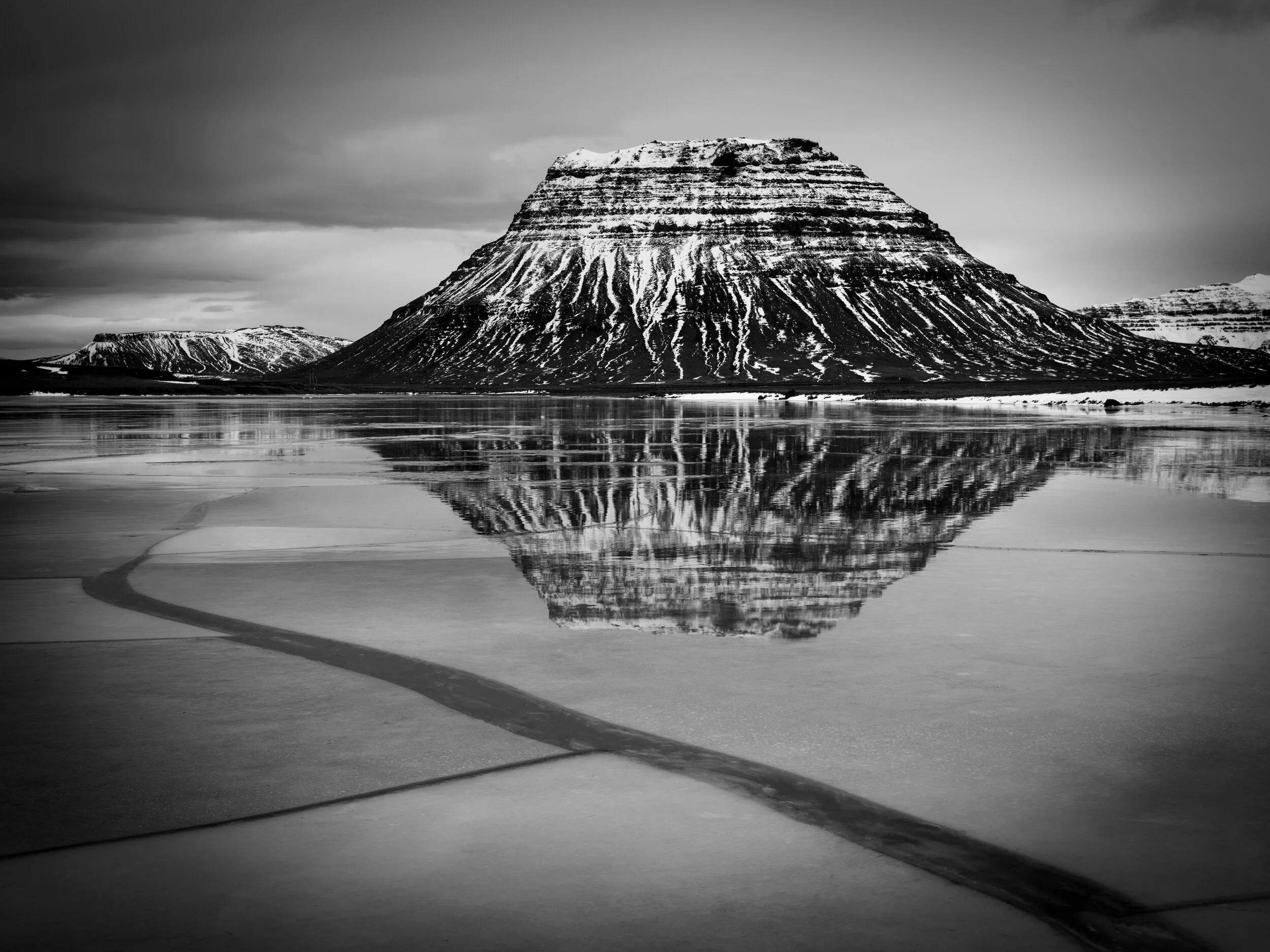
Kirkjufell reflected in Lárvaðall lagoon, which was thawing up after a recent frost.
GFX50R + GF32-64 @ 64°56'25.1"N 23°22'36.7"W

The area on the northwest tip of Snæfellsnes is called Svörtuloft (black skies). It’s a desolate place of lava fields and cliffs where only seabirds live.
GFX50R + GF32-64 @ 64°51'50.2"N 24°02'22.8"W

Cliffs at Svörtuloft.
GFX50R + GF32-64 @ 64°51'50.2"N 24°02'22.8"W

Skarðsvík beach is a beautiful spot with golden sands under the black volcanic rocks. Best time for photography is at mid-tide.
GFX50R + GF32-64 @ 64°52'53.1"N 23°59'10.5"W

Skarðsvík beach.
GFX50R + GF32-64 @ 64°52'53.1"N 23°59'10.5"W

Cliffs east of Skarðsvík beach.
GFX50R + GF32-64 @ 64°53'00.3"N 23°58'53.9"W

Iceland south coast
Winter trip to the tourist-free south coast of Iceland.
During a dinner conversation, which inevitably ended up being a moaning session about the lack of travel opportunities due to Covid-19, it was somewhat optimistically decided take a short weekend break in Iceland. It turned out to be difficult to find a place to stay but we eventually settled on Hotel Katla just outside the small town of Vík on the Icelandic south coast, where we stayed for three nights. When the time came the weather forecast was so bad we almost cancelled but we decided to give it a go, which was fortunate as we had a great trip. We got upgraded to suites and had a couple of really nice dinners so were very happy with the hotel. Vík also sports the microbrewery Smiðjan which is a must-visit.
The south coast of Iceland from Eyjafjallajökull all the way to the east fjords is, in my opinion, the most beautiful part of Iceland that is easily accessible. Normally there are hordes of tourists even in winter but due to Covid-19 we almost had the place to ourselves. On Friday the weather cleared up towards the east so we drove all the way to Lómagnúpur and on Saturday we explored the area west of Vík. On Sunday we drove back to Reykjavík in glorious sunshine after having had to double back to the hotel due to a forgetting-camera-equipment-at-the-hotel incident: I had lined up a completely tourist-free shot of Skógafoss when I realized that the GFX was without its battery.

Kerlingardalur valley and Kerlingardalsá river in the evening light. “Kerling” is a not-so-young woman, nowadays used in derogatory sense.
GFX50R + GF32-65 @ 63°26'35.4" N 18°54'19.4" W

This massive rock stands in the sand about 600m south of Hjörleifshöfði. It’s called Arnardrangur or “Eagle’s rock”. There’s a another one just to the right called Lásadrangur. They must be fragments of Hjörleifshöfði. Maybe they got there in one of the massive floods that come from the glacier when Katla erupts?
GFX50R + GF100-200 @ 63°24'43.6" N 18°45'30.9" W
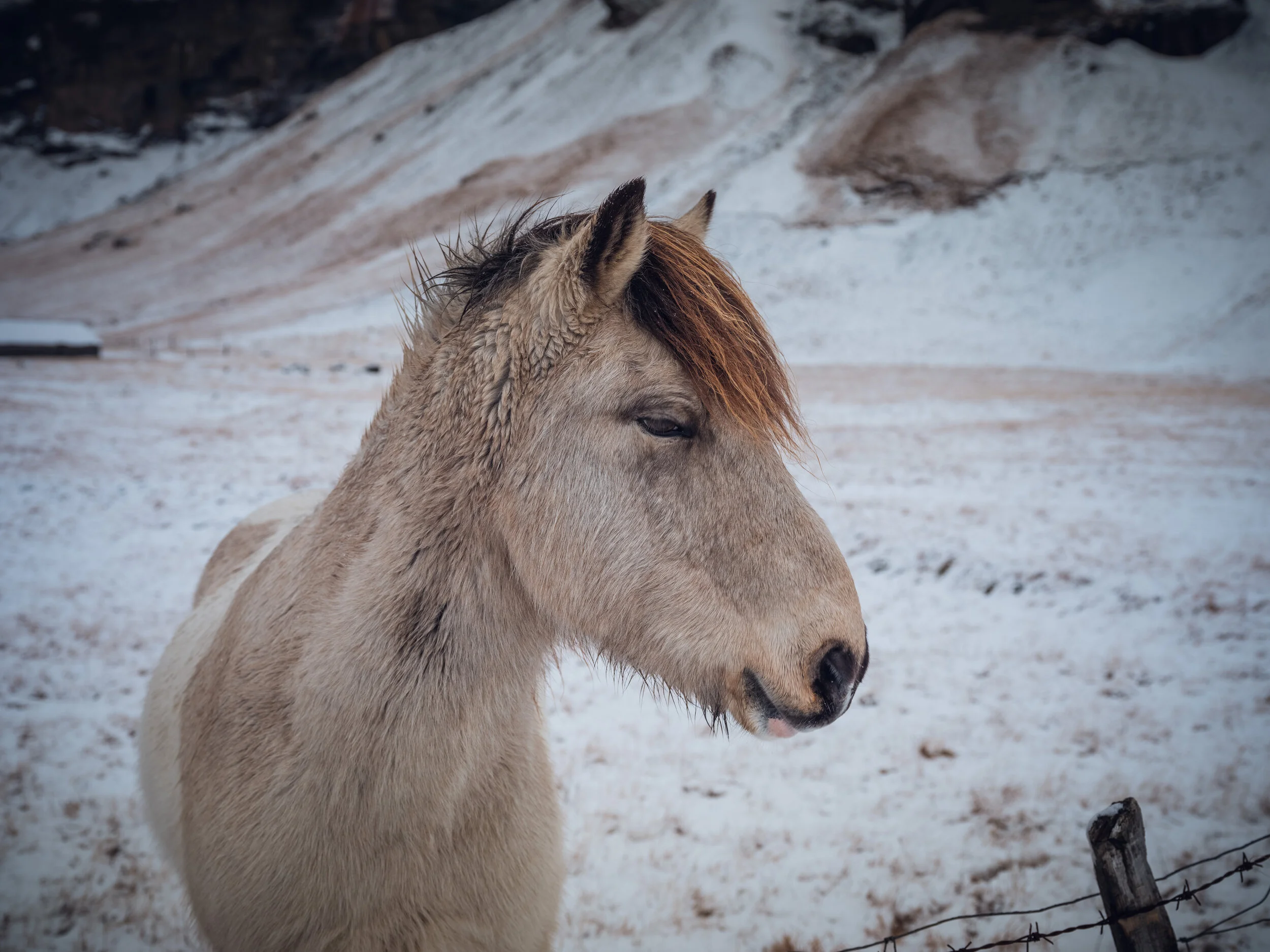
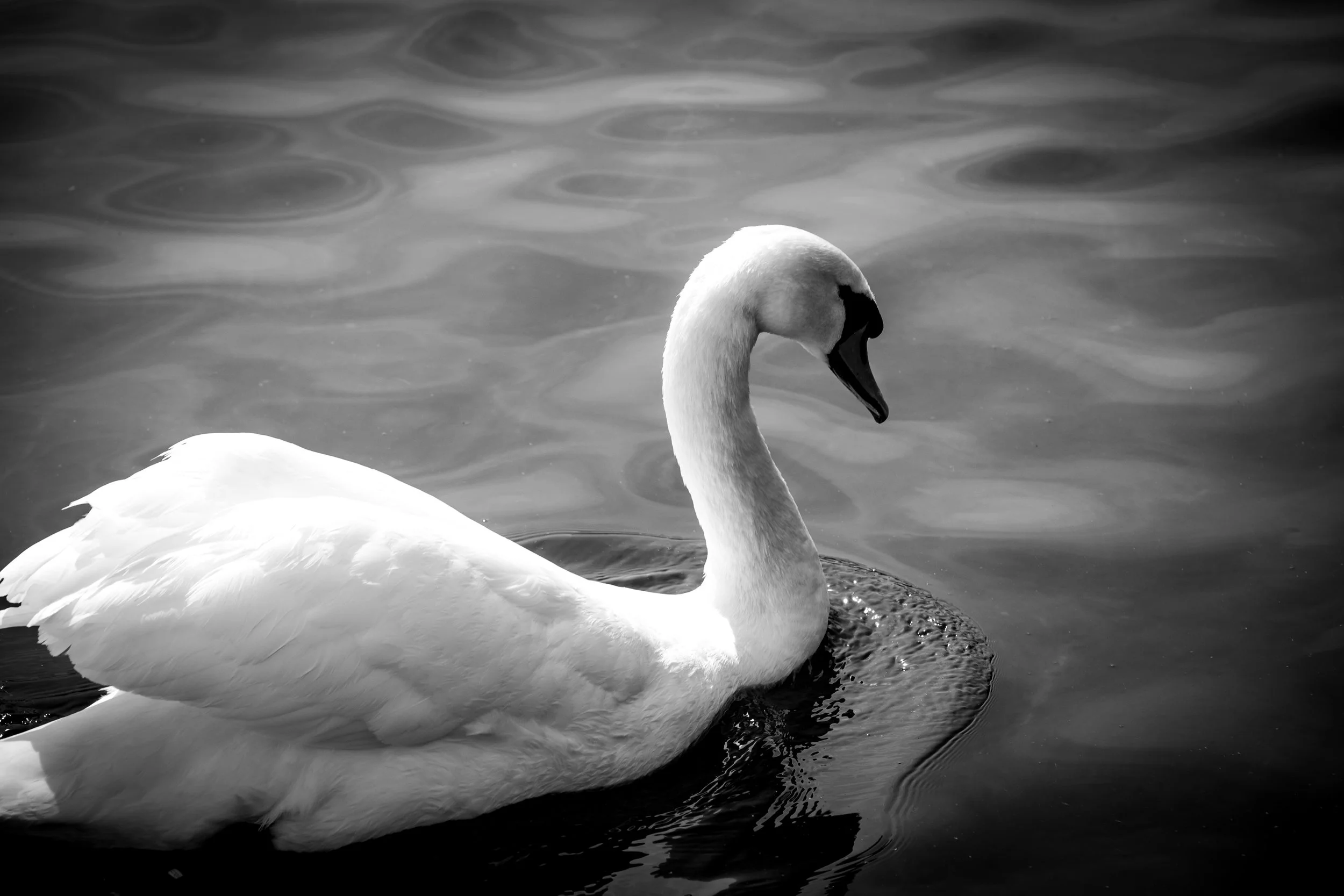
We met this handsome fellow near the farm of Núpur.
GFX50R + GF32-64 @ 63°56'53" N 17°38'6.4" W

Lómagnúpur is one of the most picturesque mountains in Iceland, jutting out into a flat area from which it rises almost vertically. We saw it for the briefest of moments when the clouds parted.
GFX50R + GF32-64 @ 63°57'28.7" N 17°35'21.7" W

Reynisfjara beach is a favorite location of mine. I have never before been there alone, usually there are hundreds of people there, so this morning was a special treat. Untouched black sands, spectacular sunrise, the special sound of the surf as it moves the sand around, seabirds everywhere, solitude - nothing like it.
Fun fact 1: Next place directly south from Reynisfjara is the Antartic.
(Not so) Fun fact 2: The beach is extremely (and deceptively) dangerous as rogue waves can grab people and pull them out to sea. Stay well away from the sea and don’t get caught between it and the cliffs!
GFX50R + GF32-64 @ 63°24'11.5"N 19°02'44.9"W

Reynisfjara beach seen from Dyrhólaey.
GFX50R + GF32-64 @ 63°24'13.2" N 19°6'12.1" W

The views from Dyrhólaey are fantastic but as we almost got blown away by the hurricane-level winds we didn’t risk getting close to any promontories. So all I have is a picture of the lighthouse! Dyrhólaey is most famous for (and is named after) the huge stone arch on the sea side - through which an airplane has been flown.
GFX50R + GF32-64 @ 63°24'9" N 19°7'49.3" W


Having a beer in Covid-19 times with Bjargmundur and Guðný at Smiðjan Brugghús in Vík.
XT2 + XF16 @ 63°25'01.8"N 19°00'40.4"W

Drangshlíðarfjall mountain on our way back to Reykjavík. The famous Skógafoss waterfall is a few hundred meters to the right.
GFX50R + GF100-200 @ 63°30'57.5" N 19°27'46.4" W

Scotland
A trip to Glasgow and the Highlands
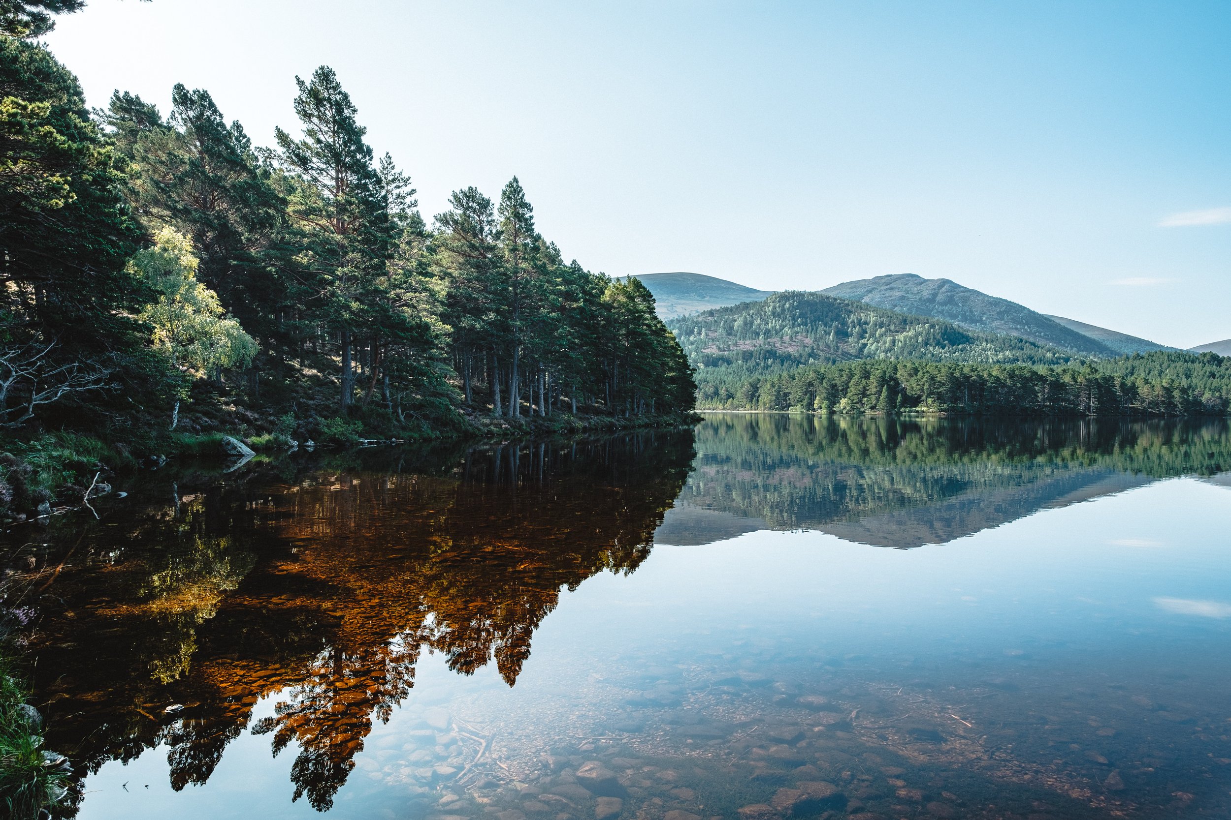
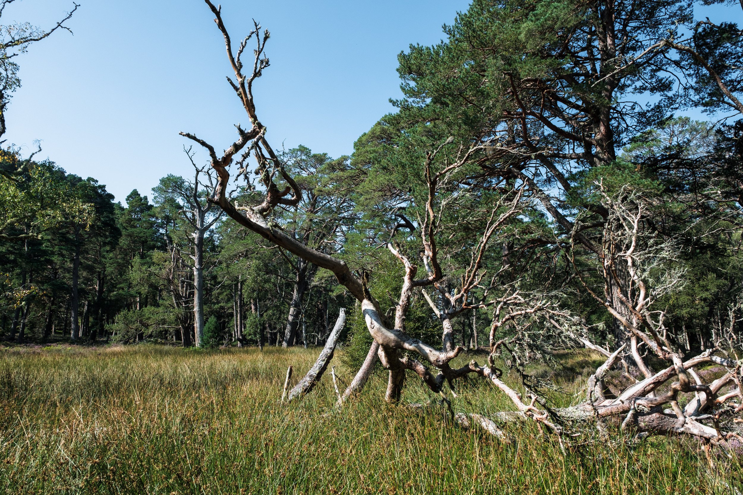
In between work trips I met with my brother in Glasgow, from where we drove to the Scottish Highlands. A very memorable trip, with a bit of street photography in Glasgow and a short stay in Aberfeldy from where we explored parts of the Cairngorms and Trossachs. Way to short a trip, but a good introduction - definitely need to go there and explore further.


Easter in London
First trip in over two years that feels like normal
For Easter I visited London, one of my favorite cities, for the first time in almost three years. London is safe, walkable and has great public transport. It’s also dripping with history and sights, and has a relaxed multi-cultural vibe. To get there from Iceland is only a short flight and, although the Icelandic and English cultures are quite different, they are also compatible in the sense that we don’t take ourselves very seriously - which is a happy place to be, in my view.
It was quite a long trip so I was exhausted when I got back. In addition to walking the length and breadth of London, I also visited Southend-On-Sea, Brighton and Southampton. I have a soft spot for Brighton but Southampton I never need to visit again. Southend-On-Sea is only remarkable for it’s 2km long pier, which is actually well worth a visit.
I brought the Fujifilm XE4 along with the XF16-55, XF23f1.4 and XF50-140. Also, I had a brand new iPhone 13 Pro Max which takes decent photos. Nothing like a real camera though. The jpegs are over-sharpened and HDR-d, which I can probably fix but can’t be bothered to.
I wish there was proper support for Galleries in blog posts on this web-site - but there’s not. Image titles are especially bad. So here’s a catalog:
Image 1: Businessman at the Southbank
Image 2: @London Bridge station
Image 3: @River Thames
Images 4-8: Southend-on-Sea
Image 9: Earl’s Court station
Image 10: Seven Dials
Images 11-16: Hyde Park
Images 17-19: Kew Gardens
Image 20: Oxford Street
Image 21: Brighton
Image 22: Near Waterloo station
Images 23-24: Hi-jacking a photoshoot near Westminster
Images 25-26: @Parliament Square
Image 27: Beer-time at Brewdog Tower Hill
Image 28: A green-ish Rolls in front the new American Embassy. Had seen the exact same car at Tower Hill a few days earlier.


Japan
To Japan for the first time
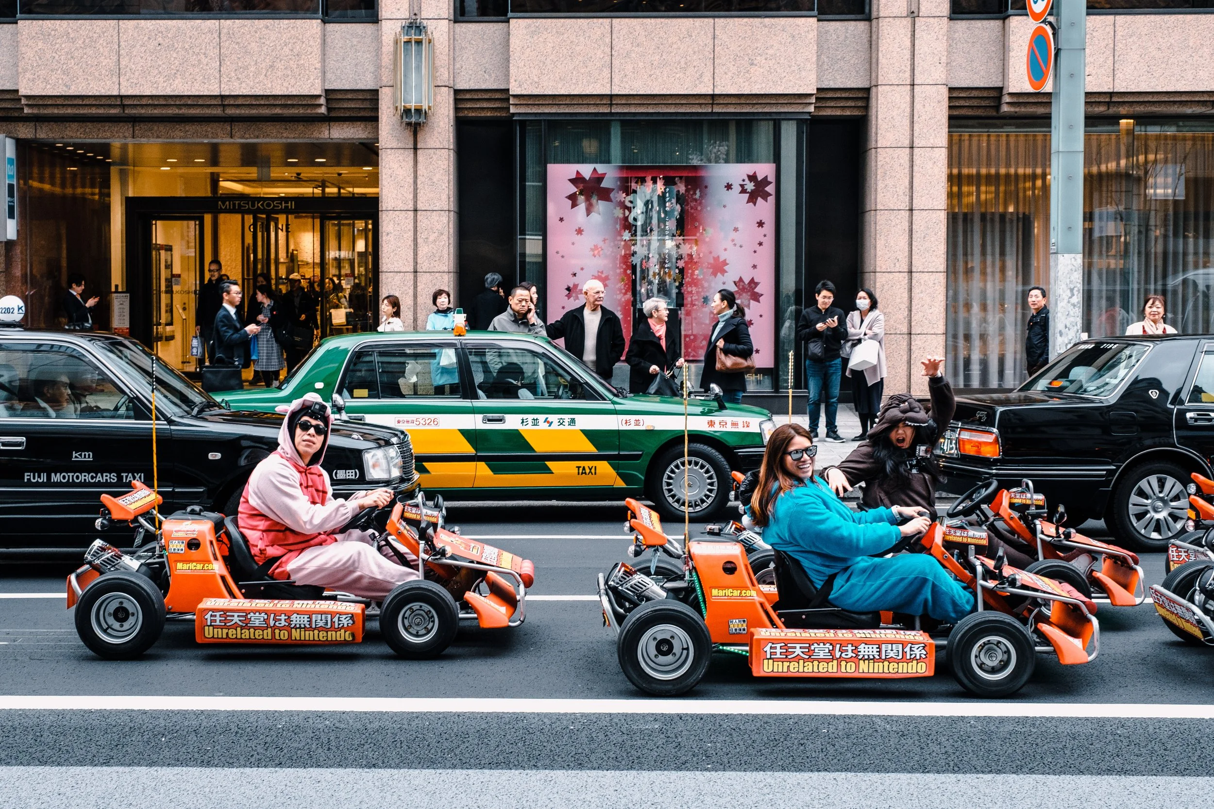
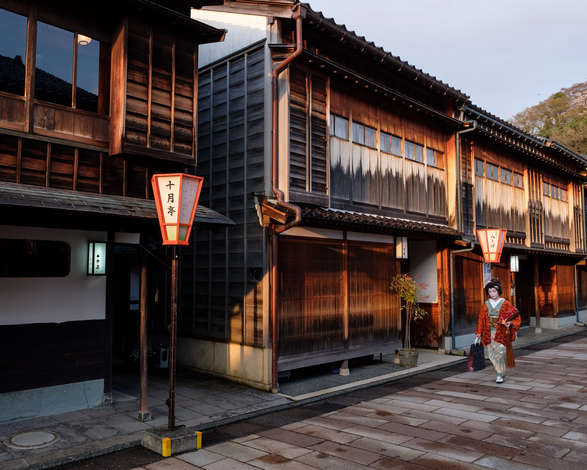
In the spring of 2019, my friend Svenni and I travelled to Japan, a first for both of us. I absolutely loved it, and cannot wait to go back. We planned the trip so that we would be there when the cherry blossoms bloom, and were not disappointed. We did a bit of a mix of city tour and road trip. A few days in Tokyo, followed by the Shinkansen to Osaka, and nearby Nara, before picking up a car in Osaka to drive to Kanazawa and Nagoya. After we dropped off the car, we stayed in Kobe and Kyoto for a few days, before heading back to Tokyo.
For me, this was a magic trip. The culture is so different, and not a lot of people speak good English, but somehow it all works out really well. And as for photography, I think there is no place I would rather go.
On a side note, when I got back home I bought “Forms of Japan” by Michael Kenna. That book is a double edged sword. It’s so good that you almost wonder why you bother with photography.