Iceland hinterlands
Towards the end of summer I went on a 3-night camping trip to Eldgjá and Lakagígar, an area which I’ve not been to before. Due to river crossings you need a 4x4 to get there, so it’s relatively quite in terms of tourists.
Day 1 - Eldgjá
We camped in Hólaskjól, drove to Eldgjá and hiked around the area for the rest of the day, going all the way to Gjátindur. Eldgjá is an amazing place and is part of a crater line formed in the largest lava eruption in recent global history (939AD). The star of the show is Ófærufoss, a magnificent waterfall. It used to have a stone arch over the lowest falls, but it collapsed in 1993.
Day 2 - Langisjór
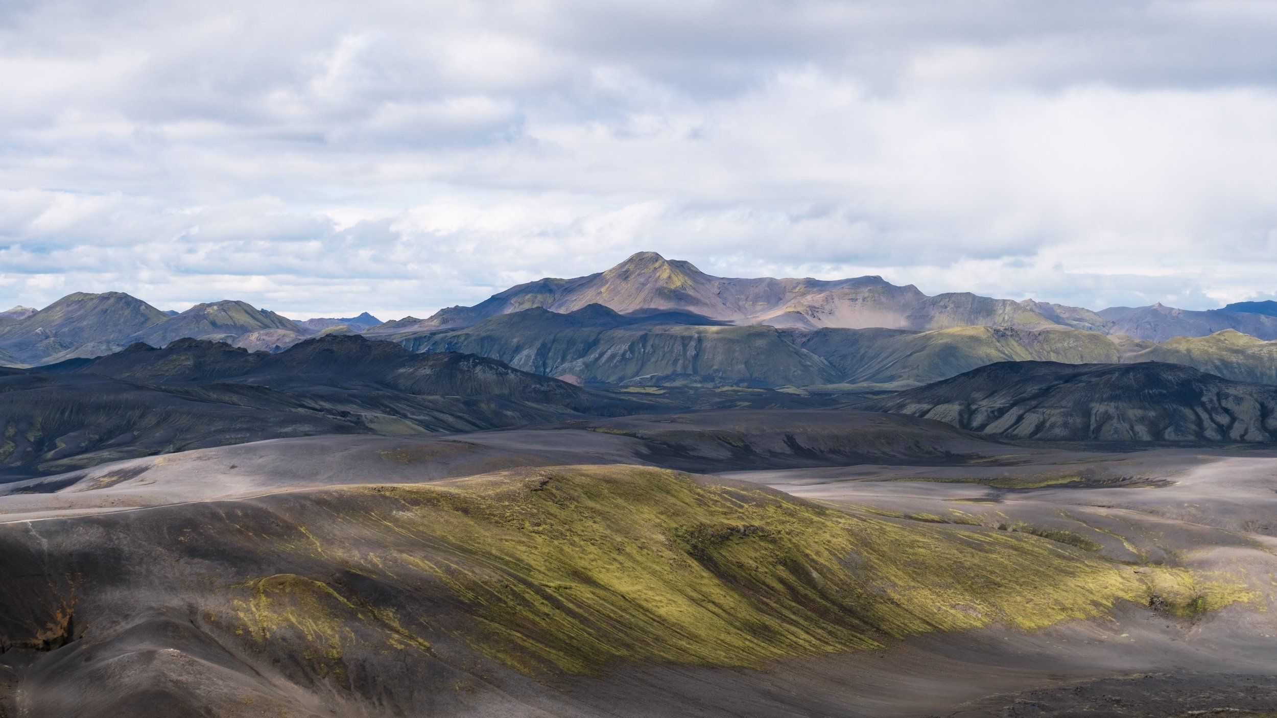
Langisjór (Long sea) is a 20km long lake that sits between two volcanic ridges. This is an area of outstanding desolate beauty, with black volcanic rocks and green moss-covered mountains. Perfect for hiking.
Day 3 - Lakagígar
Although Lakagígar are close to Eldgjá you need to drive down to the ring-road to cross the Skaftá river. So we moved camp to Blágil. The Lakagígar volcanic ridge were formed in a massive eruption 1783-1784, an eruption that devastated Iceland and cause world-wide crop failures and famines. The tallest crater, Laki, is in the middle of ridge. The easy hike up affords a magnificent view of the entire area.


